
A-Basin is high, steep and stubborn: the East Wall's hike-to chutes, narrow Pallavicini lines and a trail mix where about three in four runs are black or double black. Copper is tidier, with gentle runs on the west side, intermediates in the middle and Tucker Mountain's bowls out east, plus Woodward's park and training hub. A-Basin's steepest pitch, Jet Chute, is noticeably sharper, and its season runs from October into June. It is also far cheaper on a weekend, $140 against $274. Pick A-Basin for steeps and tailgates on the Beach. Pick Copper if your group ranges from nervous beginners to park kids.
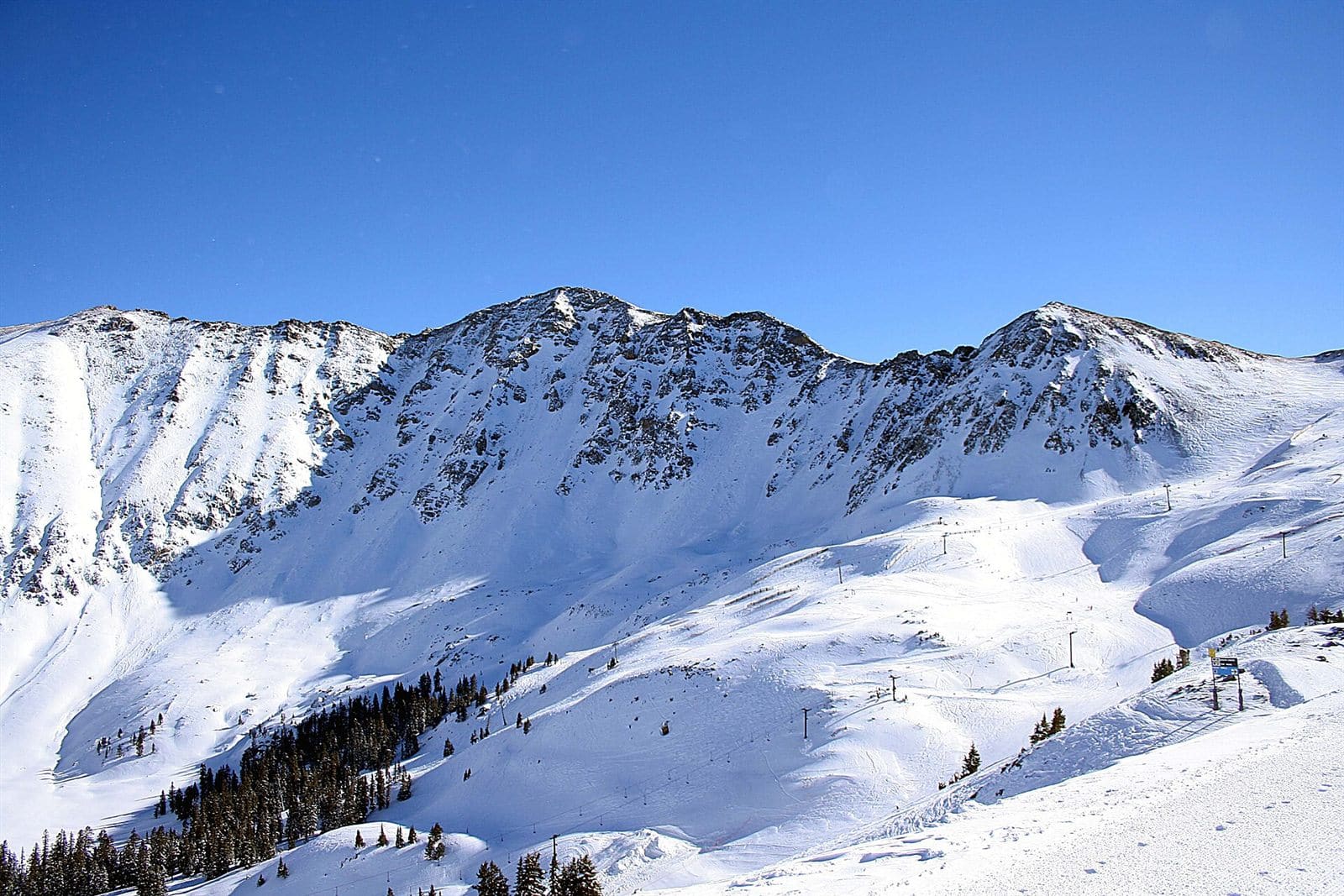 Top pick A-BasinCO · Ikon A Continental Divide legend that skis into early summer. Wins 5 of 8 Cheapest ticket Most trails Steepest Most tree runs Most snow | 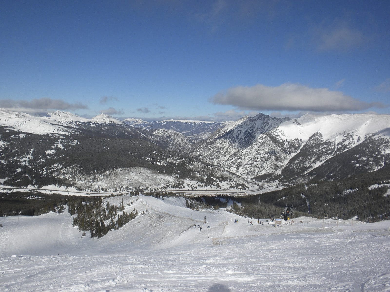 CopperCO · Ikon Colorado's naturally sorted giant, an easy Summit County favorite. Wins 3 of 8 Most vertical Longest run Most lifts | |||
|---|---|---|---|---|
| Getting there | ||||
| Getting there | ~1h45m from Denver airport | ~1h45m from Denver airport | ||
| Lift ticket | $1402025/26 | $2742025/26 | ||
| Passes | Ikon Pass | Ikon Pass | ||
| The mountain | ||||
| Vertical | 2,530 ft | 2,738 ft | ||
| Trails | 169 | 157 | ||
| Trail mix | 3% green · 21% blue · 76% black | 21% green · 25% blue · 53% black | ||
| Steepest 300 ft | 46° Jet Chute | 37° Schaefer's | ||
| Longest run | 6,145 ft East Wall Traverse | 9,646 ft Roundabout | ||
| Tree runs | 39 | 8 | ||
| Average snowfall | 350 in | 246 in | ||
| Lifts | 6 (2 high-speed) | 16 (7 high-speed) | ||
Top pickA Continental Divide legend that skis into early summer.
Wins 5 of 8
Colorado's naturally sorted giant, an easy Summit County favorite.
Wins 3 of 8
Getting there
Getting there
Lift ticket
Passes
The mountain
Vertical
Trails
Trail mix
Steepest 300 ft
Longest run
Tree runs
Average snowfall
Lifts
The top pick wins the most of these 8 head-to-heads outright; what matters most is up to you. Drive times are estimates from straight-line distance; for a mountain you'd fly to, the drive is from its airport. Ticket prices are adult one-day prices; “peak” means only the holiday price is published so far.
A-Basin
Steepest trails (steepest 300 ft)
Longest trails
A-Basin trail map and guide →Copper
Steepest trails (steepest 300 ft)
Longest trails
Copper trail map and guide →Questions
Which is steeper, A-Basin or Copper?
A-Basin is steeper, measured from USGS lidar. Its steepest trail, Jet Chute, reaches 46° over its steepest 300 ft, against 37° on Schaefer's at Copper. A typical black trail measures 28° at A-Basin and 26° at Copper over its steepest 300 ft. A-Basin has 49 runs that reach 35° or more over 300 ft; Copper has 5.
Which is better for beginners, A-Basin or Copper?
Copper has more terrain for beginners. Greens and gentle blues (steepest 300 ft under 18°) make up 10% of the trail length at A-Basin (6.9 km) and 37% at Copper (43.5 km). By trail count, 3% of A-Basin's trails are green and 21% of Copper's. A-Basin has a carpet, rope tow or beginner lift; Copper has a carpet, rope tow or beginner lift.
Which has more vertical, A-Basin or Copper?
Copper has more vertical: 2,738 ft, against 2,530 ft at A-Basin. A-Basin's summit is at 12,959 ft and Copper's at 12,352 ft.
Which has more trails, A-Basin or Copper?
A-Basin has more trails: 169 mapped runs to 146, not counting terrain parks. That is 71.1 km of trails at A-Basin and 117.4 km at Copper.
Which gets more snow, A-Basin or Copper?
A-Basin averages 350 inches of snow a season and Copper 246 inches (as each resort reports it). Both make snow as well, so this is only part of the picture.
How far apart are A-Basin and Copper?
About 18 miles in a straight line between their base areas. A-Basin is in Dillon, CO and Copper is in Copper Mountain, CO.