
Both are on the Ikon Pass and both ski steep, but they go about it differently. A-Basin is compact and high, all hike-to East Wall chutes and narrow Pallavicini lines, with north-facing slopes that hold snow into June. Winter Park is two mountains in one: wide groomers on the Winter Park side, Mary Jane's relentless bumps and tight trees, and Parsenn Bowl and Vasquez Cirque above treeline. It has far more lifts and the longer runs, Village Way among them, and Denver skiers can ride the Winter Park Express. Pick A-Basin for steep chutes and spring tailgates. Pick Winter Park for bumps, variety and a train ride.
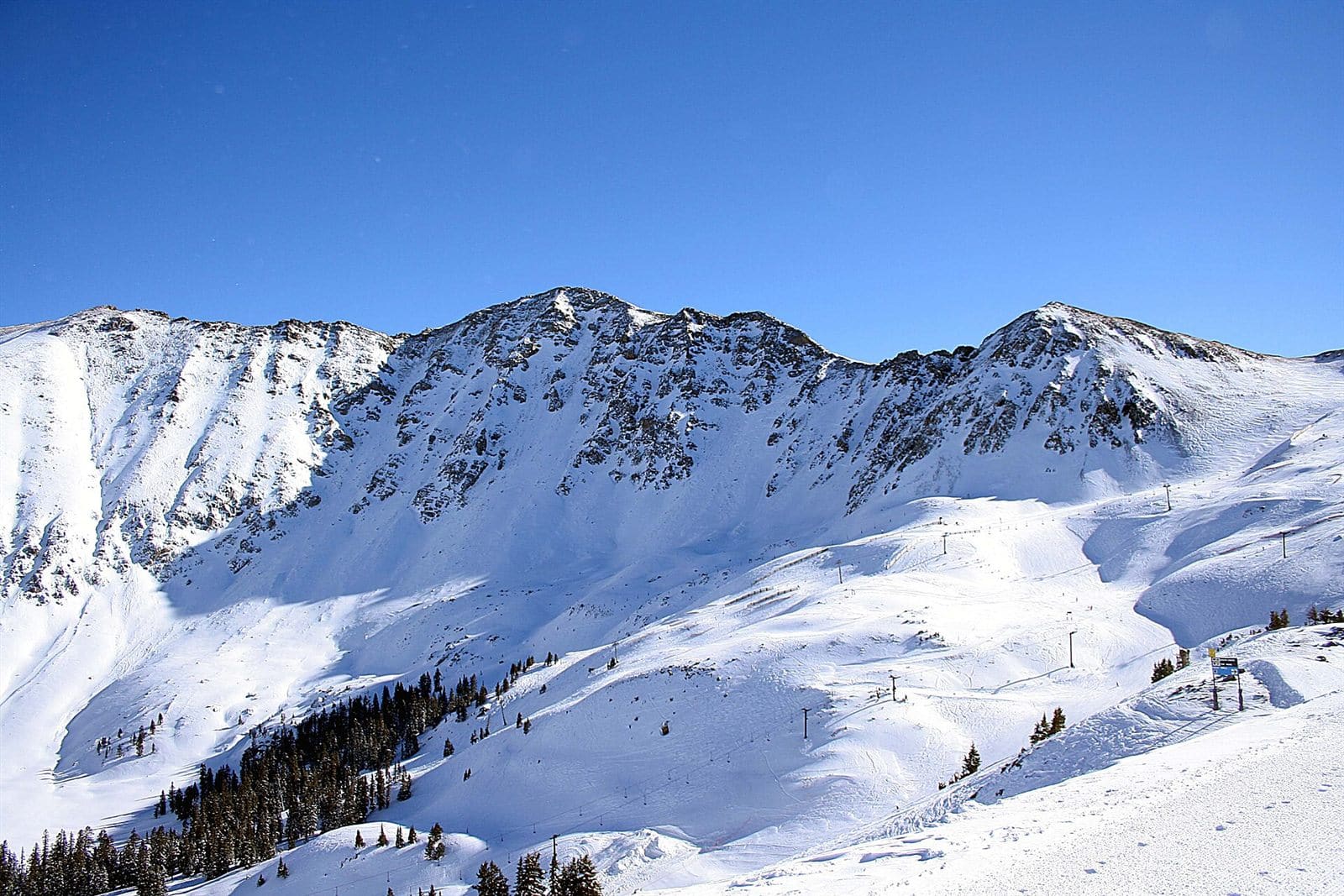 A-BasinCO · Ikon A Continental Divide legend that skis into early summer. Wins 3 of 8 Steepest Most tree runs Most snow | 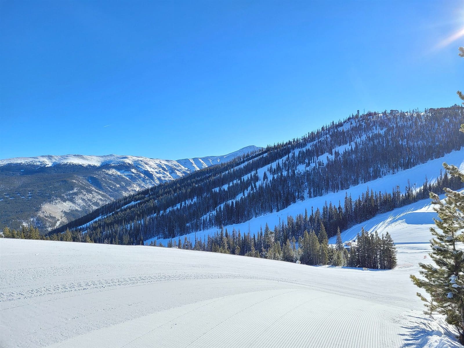 Top pick Winter ParkCO · Ikon A city park with its own rail line. Wins 4 of 8 Most vertical Most trails Longest run Most lifts | |||
|---|---|---|---|---|
| Getting there | ||||
| Getting there | ~1h45m from Denver airport | ~1h45m from Denver airport | ||
| Lift ticket | $1402025/26 | $267peak | ||
| Passes | Ikon Pass | Ikon Pass | ||
| The mountain | ||||
| Vertical | 2,530 ft | 3,060 ft | ||
| Trails | 169 | 170 | ||
| Trail mix | 3% green · 21% blue · 76% black | 18% green · 26% blue · 56% black | ||
| Steepest 300 ft | 46° Jet Chute | 44° Better Not | ||
| Longest run | 6,145 ft East Wall Traverse | 26,211 ft Village Way | ||
| Tree runs | 39 | 24 | ||
| Average snowfall | 350 in | 327 in | ||
| Lifts | 6 (2 high-speed) | 20 (11 high-speed) · gondola | ||
A Continental Divide legend that skis into early summer.
Wins 3 of 8
Top pickA city park with its own rail line.
Wins 4 of 8
Getting there
Getting there
Lift ticket
Passes
The mountain
Vertical
Trails
Trail mix
Steepest 300 ft
Longest run
Tree runs
Average snowfall
Lifts
The top pick wins the most of these 8 head-to-heads outright; what matters most is up to you. Drive times are estimates from straight-line distance; for a mountain you'd fly to, the drive is from its airport. Ticket prices are adult one-day prices; “peak” means only the holiday price is published so far.
A-Basin
Steepest trails (steepest 300 ft)
Longest trails
A-Basin trail map and guide →Winter Park
Steepest trails (steepest 300 ft)
Longest trails
Questions
Which is steeper, A-Basin or Winter Park?
A-Basin is steeper, measured from USGS lidar. Its steepest trail, Jet Chute, reaches 46° over its steepest 300 ft, against 44° on Better Not at Winter Park. A typical black trail measures 28° at A-Basin and 26° at Winter Park over its steepest 300 ft. A-Basin has 49 runs that reach 35° or more over 300 ft; Winter Park has 22.
Which is better for beginners, A-Basin or Winter Park?
Winter Park has more terrain for beginners. Greens and gentle blues (steepest 300 ft under 18°) make up 10% of the trail length at A-Basin (6.9 km) and 38% at Winter Park (47.2 km). By trail count, 3% of A-Basin's trails are green and 18% of Winter Park's. A-Basin has a carpet, rope tow or beginner lift; Winter Park has a carpet, rope tow or beginner lift.
Which has more vertical, A-Basin or Winter Park?
Winter Park has more vertical: 3,060 ft, against 2,530 ft at A-Basin. A-Basin's summit is at 12,959 ft and Winter Park's at 12,008 ft.
Which has more trails, A-Basin or Winter Park?
Winter Park has more trails: 170 mapped runs to 169, not counting terrain parks. That is 71.1 km of trails at A-Basin and 124.2 km at Winter Park.
Which gets more snow, A-Basin or Winter Park?
A-Basin averages 350 inches of snow a season and Winter Park 327 inches (as each resort reports it). Both make snow as well, so this is only part of the picture.
How far apart are A-Basin and Winter Park?
About 18 miles in a straight line between their base areas. A-Basin is in Dillon, CO and Winter Park is in Winter Park, CO.